森林 74
Forest 74
https://3dsky.org/3dmodels/show/lesnoi_massiv_74
Platform: 3dsMax 2014 + fbx Render: Vray
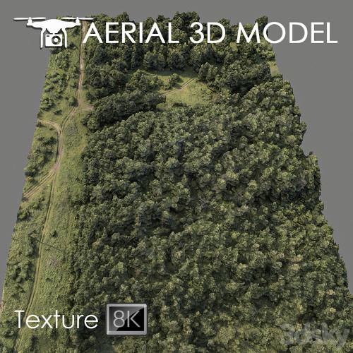
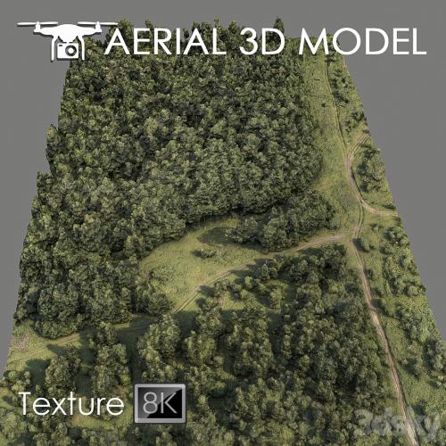
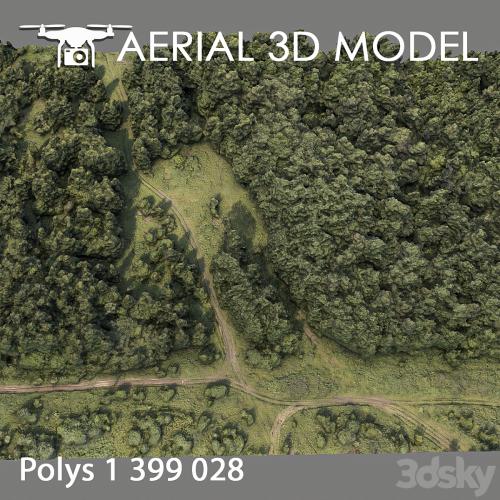
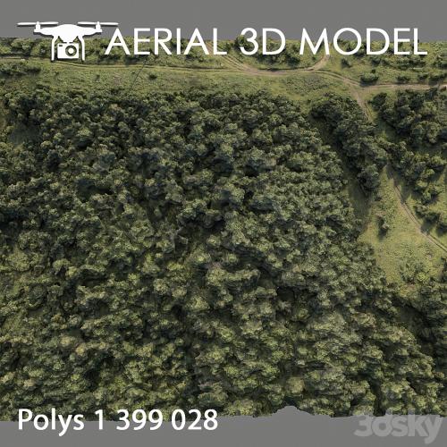
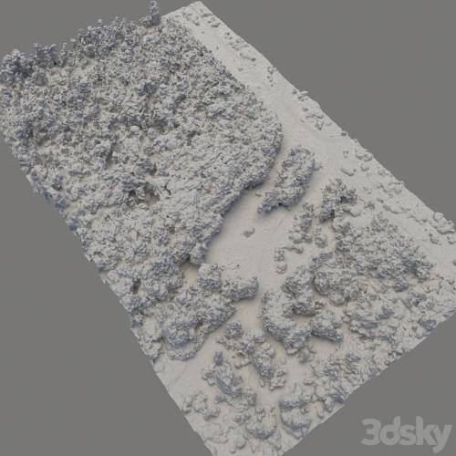
A 3D terrain scan was made with a quadcopter at a height of 60 m.
The model consists of one Edit Poli with 1 texture scan.
Texture (scan) 8192х8192
Suitable for visualizing master plans as a background filling. The model is based on real photographs and contains many details and features of the landscape.
I recommend editing the model with the Slice modifier, so you can cut the model to the desired areas.
Use only for distant shots as a preview.
本站不对文件进行储存,仅提供文件链接,请自行下载,本站不对文件内容负责,请自行判断文件是否安全,如发现文件有侵权行为,请联系管理员删除。